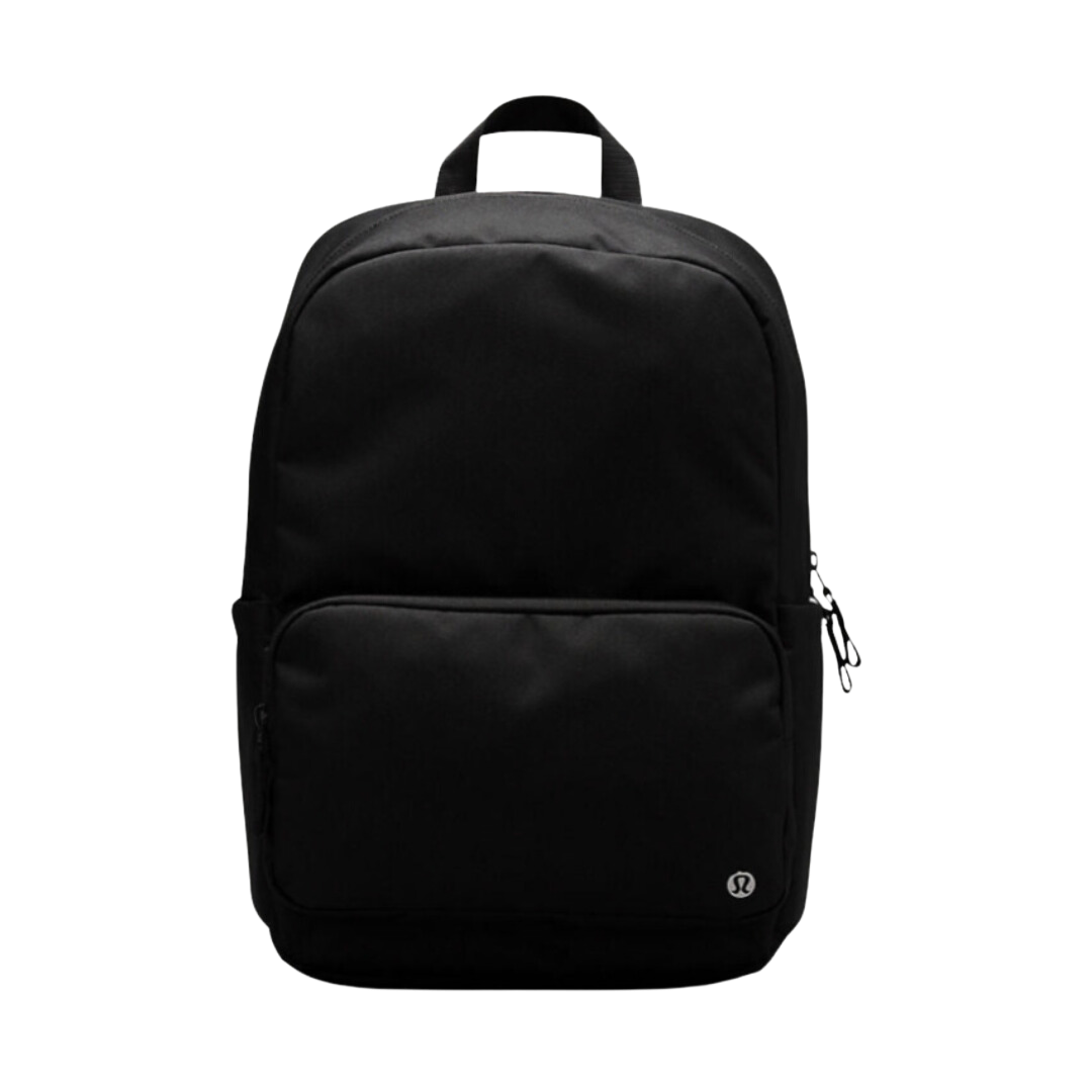
Camilla Size:37
US$ 99.00

and some villages too
Rotherhithe
Intriguingly
the other of Llandaff - then a separate village with a cathedral
Map of Inverness, Highlands and Moray in 1654, a rare colour old map by Joan Blaeu and Timothy Pont Size:30x40in (76x101.5cm) and some villages tooThis rare, colour map of Inverness, Highlands and Moray (or Moravia in Latin) in 1654 comes from the first ever atlas of Scotland, Jean Blaeu's Theatrum Orbis Terrarum (Latin for the Theatre of the Orb of the World). It was hand coloured and printed on vellum. The cartographer for this map was Timothy Pont. This map looks great at all sizes: 12x16 inches (31x41cm), 18x24 inches (45. 5x61cm) and 24x36 inches (61x91. 5cm), but it looks even better when
US$ 99.00

US$ 99.00

US$ 374.50

US$ 374.50


US$ 119.00

US$ 139.00

US$ 139.00


US$ 159.00


US$ 129.00

US$ 109.00

US$ 179.00

US$ 158.00

US$ 649.50