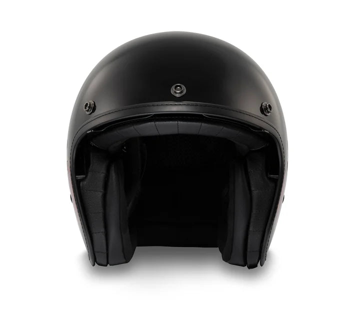
The Knight Size:L
US$ 44.00

8th century AD) - Powick (c
If you have the space for it
Oettingen - The seat of the County of Oettingen
Waterville (1802): Known for its historic role in the textile industry
Old Map of Westphalia by Visscher, 1690: Hamburg, Bremen, Hanover, Cologne, Dortmund Size:18x24in (45x60cm) 8th century AD) - PowickDive into the rich history of Germany with this meticulously detailed map of Westphalia, crafted by the renowned cartographer Nicolaes Visscher II in 1690. This piece offers a captivating view of the political landscape of the time, revealing the intricate divisions within the Circulus Westphalici, or the Westphalian Circle. The full name of the map, 'Totius Circuli Westphalici: accurata descriptio Pr.', translates to 'An accurate description of the
US$ 44.00


US$ 40.00


US$ 44.00


US$ 44.00

US$ 40.00

US$ 40.00


US$ 44.00


US$ 40.00